Resources for managing the impacts of climate change in Vanuatu have been unveiled.
The resources will go towards making climate change information readily accessible to governments, industry and local communities.
The Vanuatu Climate Futures Portal’s tools will include regional and global climate projections for multiple climate change hazards, including rainfall, temperature, sea level rise, tropical cyclones, extreme winds, marine heatwaves and ocean acidification.
The information will help inform planning, and support decision making for agricultural, infrastructure, fisheries, tourism and water industries.
It was established through a partnership between Australia’s national science agency, CSIRO, the Vanuatu Meteorology and Geo-hazards Department (VMGD), and the Secretariat of the Pacific Regional Environment Programme (SPREP) as part of the Climate Information Services For Resilient Development In Vanuatu (Van-KIRAP) project.
Mr Sunny Seuseu, Acting Manager, Van-KIRAP with SPREP in Vanuatu says the program is impressive.
“With no time to waste, we’ve worked closely with end-users to understand what information they need to put their adaptation plans into action.
Regardless of where you live in Vanuatu, or where you work, the new portal can help answer questions such as for the agriculture sector like, ‘how will the growing region contract or expand over time for different crops?’, ‘what should be grown where and when’, ‘where should we build new infrastructure?’ and ‘what practical steps can our community take now to adapt?’”
This is a game changer for planners in Vanuatu and will help farmers, fishers, tourist operators, infrastructure managers and the whole community plan ahead and adapt to the realities of climate change.
As an example, you can now click on a map of the country and find out what the temperature and rainfall will be at a particular time at a particular location, now and into the future.”
Among increased rainfall and other extreme weather events, Vanuatu’s average temperature has increased by 0.7 degrees since the pre industrial period, and sea levels have rised by 10-15 cm since 1993.
While expected to decrease annually, tropical cyclones are becoming more intense damaging critical infrastructure, ecosystems and coastal resources.
These changes worsen existing challenges such as food insecurity and are displacing local communities.
CSIRO project lead Dr Geoff Gooley says the project highlights the importance of sharing vital information with the people who need it the most.
“We’ve learnt a lot through this unique collaboration with our partners in Vanuatu about how we develop, apply, and deliver tailored and targeted climate information.
We were guided by our partners through the project to focus on user needs, and to iterate on what has worked previously and what hasn’t.
Our team is proud to have delivered a product that will be so tangible and useful to its end-users.”
Ms Moirah Matou, Van-KIRAP project manager says the information will help lawmakers make vital decisions.
“The Climate Futures Portal is now making it easy for sectors in Vanuatu to integrate climate information into long-term sector planning, policies and design guides, and it’s helping to ensure sustainable investments – all of which is strengthening climate resilience development in Vanuatu.
As an example, the infrastructure sector is able to readily extract information to inform climate change risk with extreme sea levels causing coastal inundation of roads, bridges and drainage systems.”
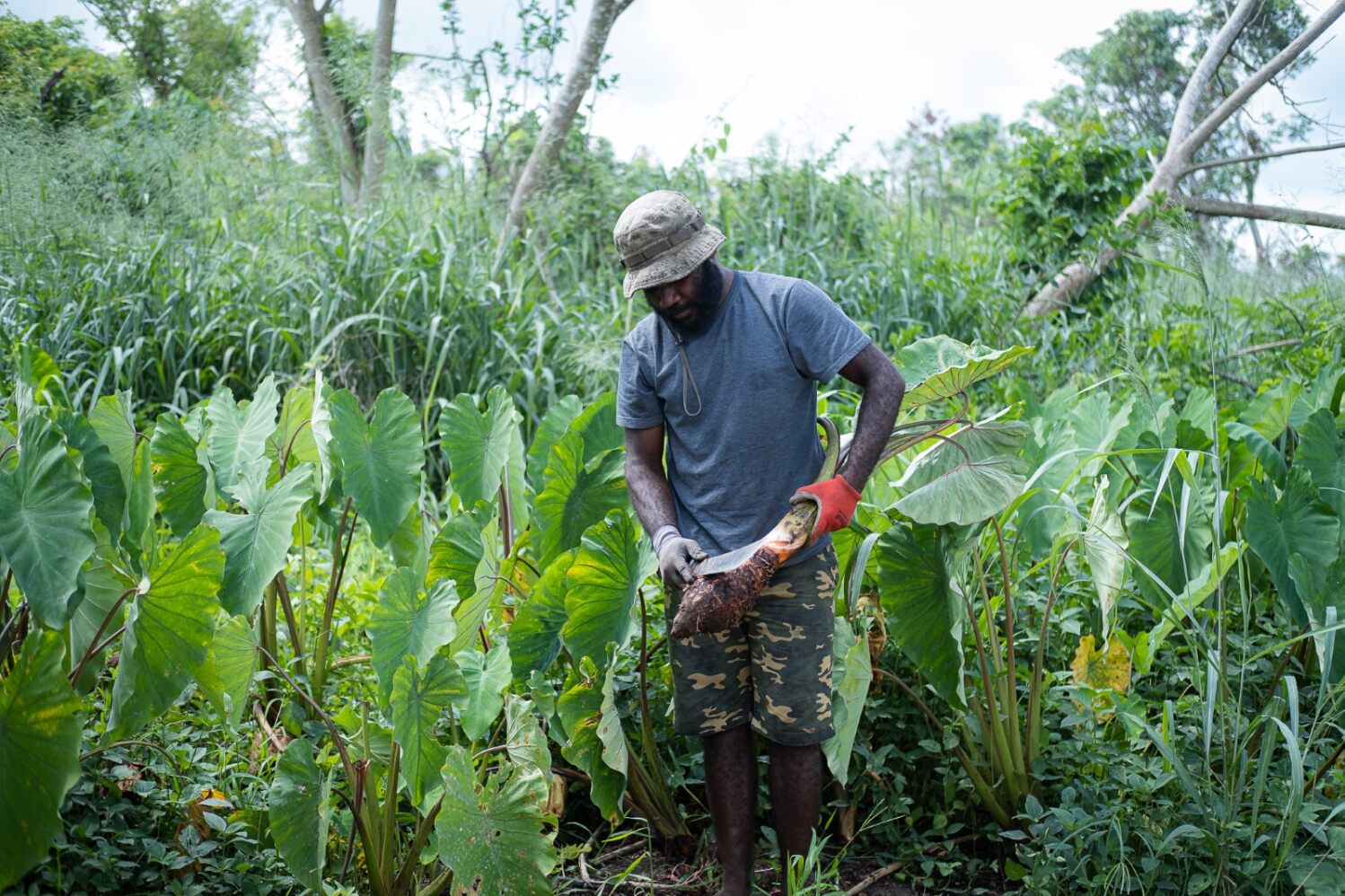
Image supplied by CSIRO credit Gina Ishmael.