A cultural map detailing Indigenous place names around the Harvey township in WA’s south-west is helping the return of traditional language to the region.
The community-made artwork holds the names and meanings of significant places on Bindjareb country.
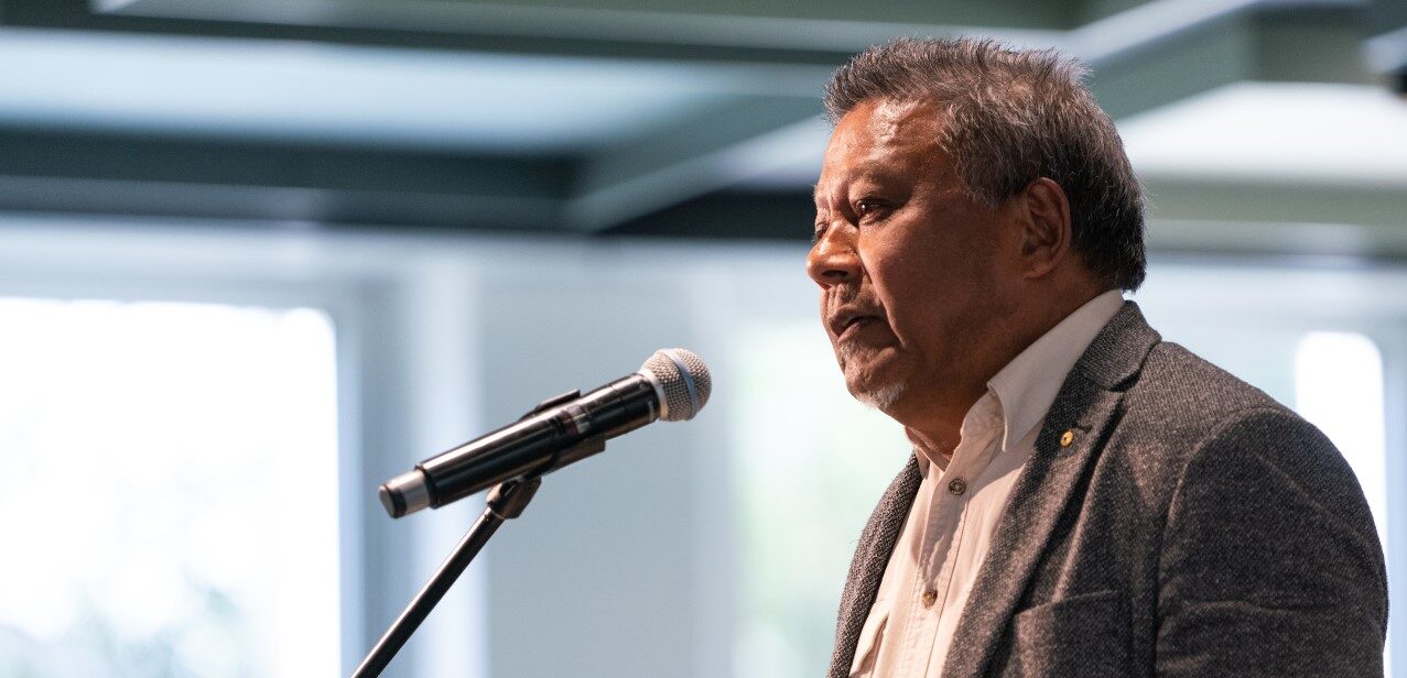
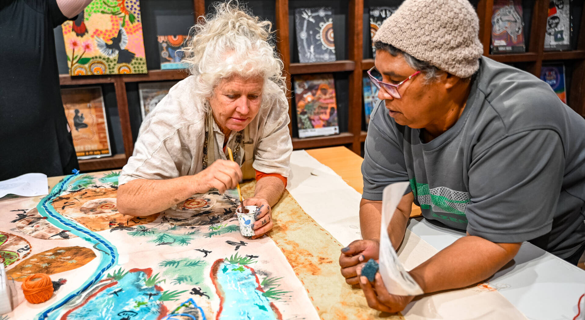
Harvey community senior elder Lesley Ugle says five generations of Noongar families worked on the map, which shares stories and history of significant waterways and historical campsites.
She says it’s a living artefact, that hopefully will continue to grow and evolve.
“We call it our Place Names Map because we’re going back to the original or the Noongar names around the Harvey area,” she says.
“We’re just doing our little bit of the mapping and hopefully each country beside us or each group beside us can continue it on like a storyline songline, connecting country.”
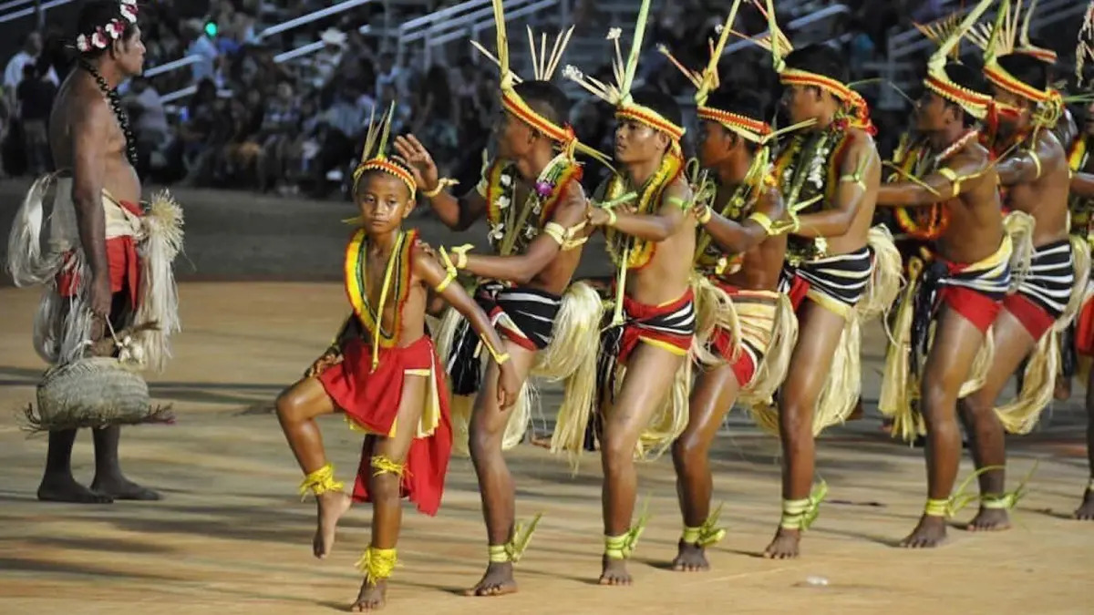
It’s hoped the Noongar cultural map launched during NAIDOC Week will also lead to better recognition and renaming of significant cultural sites.
It shows the stories and history embedded in three locations, Korijekup the place of the red-tailed cockatoos, Wokalup the place of the waugul carpet snake, and Warrawarrup the place of the big female yongas or kangaroo.
Dual naming is about connection
Lesley Ugle says they hope that ultimately both the European and traditional place names could be used together on signage around the region.
“How we put the place names together – it’s a sentence, it’s a belonging, it’s also a direction of what is where,” she says.
“Connecting every single part of that map to each other, that’s the animals, the plants, the fish, the insects, we’ve got them all on that map and what birds and bushes and trees that were around there as well.”
“The connection is to everything. You’ve got your language, you’ve got your knowledge, you’ve got your stories you’ve got your culture, you’ve got your art from elders, traditional owners, community members, all their wisdom and their stories.”
Lesley Ugle says it has extra significance for her and many of her generation as their Indigenous language was suppressed during childhood, so the map acts as a celebration that their language survived.
“It’s breathing life into ancient names. It’s decoding ancient meanings of places, that’s why we put it into a sentence. It’s not just a name or a title,” she says.
“Our language is very descriptive so with this map it’s actually showing that.”
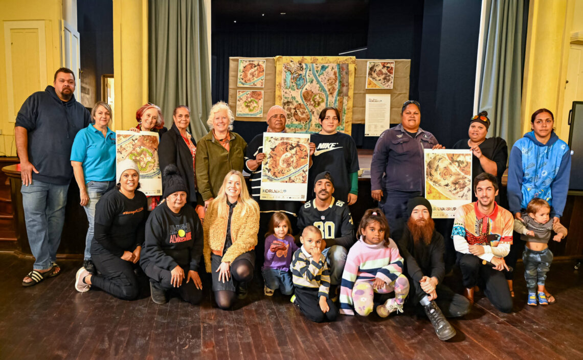
More than 150 community members were at the map’s launch.
Feature image supplied CAN